ESCWA Publication: E/ESCWA/SDPD/2019/GUIDE.4
Country: Arab region
Publication Type: Training material
Cluster: Climate Change and Natural Resource Sustainability
Focus Area: Natural resource sustainability
Initiatives: Enhancing resilience and sustainability of agriculture
SDGs: Goal 6: Clean Water and Sanitation
Keywords: Agricultural production, Arab countries, Food security, Technology, Water, Technical cooperation, Water resources, Natural resources, Agricultural training
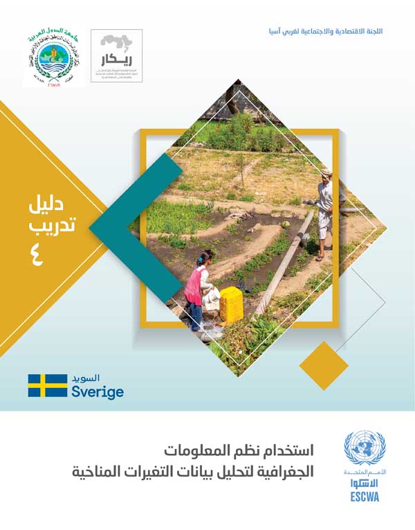
Guidebook on use of GIS for climatic data analysis
January 2019
This guidebook is the fourth of a series of guidebooks produced by ESCWA in cooperation with the Arab Center for Studies of Arid Zones and Drylands (ACSAD) in relation to irrigation water management. It aims at studying the impact of climate change on crops through RICCAR’s findings. It provides technical details on operating multidimension tools in ARC map, the use of RASTER, Net CDF, model builders on climatic data, utilizing interpolation, downscaling and resampling methods in addition to spatial analyst tools. It also contains various exercises that will allow the estimation of modifications in climatic variables during a given period compared to a reference period. This will eventually contribute to enhancing the resilience and sustainability of the agricultural sector in view of the water scarcity and increased water demand in the Arab region.
Related content
Natural resource sustainability
,
This guidebook is the fourth of a series of guidebooks produced by ESCWA in cooperation with the Arab Center for Studies of Arid Zones and Drylands (ACSAD) in relation to irrigation water management. It aims at studying the impact of climate change on crops through RICCAR’s findings. It provides technical details on operating multidimension tools in ARC map, the use of RASTER, Net CDF, model builders on climatic data, utilizing interpolation, downscaling and resampling methods in addition to spatial analyst tools. It also contains various exercises that will allow the estimation of modifications in climatic variables during a given period compared to a reference period. This will eventually contribute to enhancing the resilience and sustainability of the agricultural sector in view of the water scarcity and increased water demand in the Arab region.


