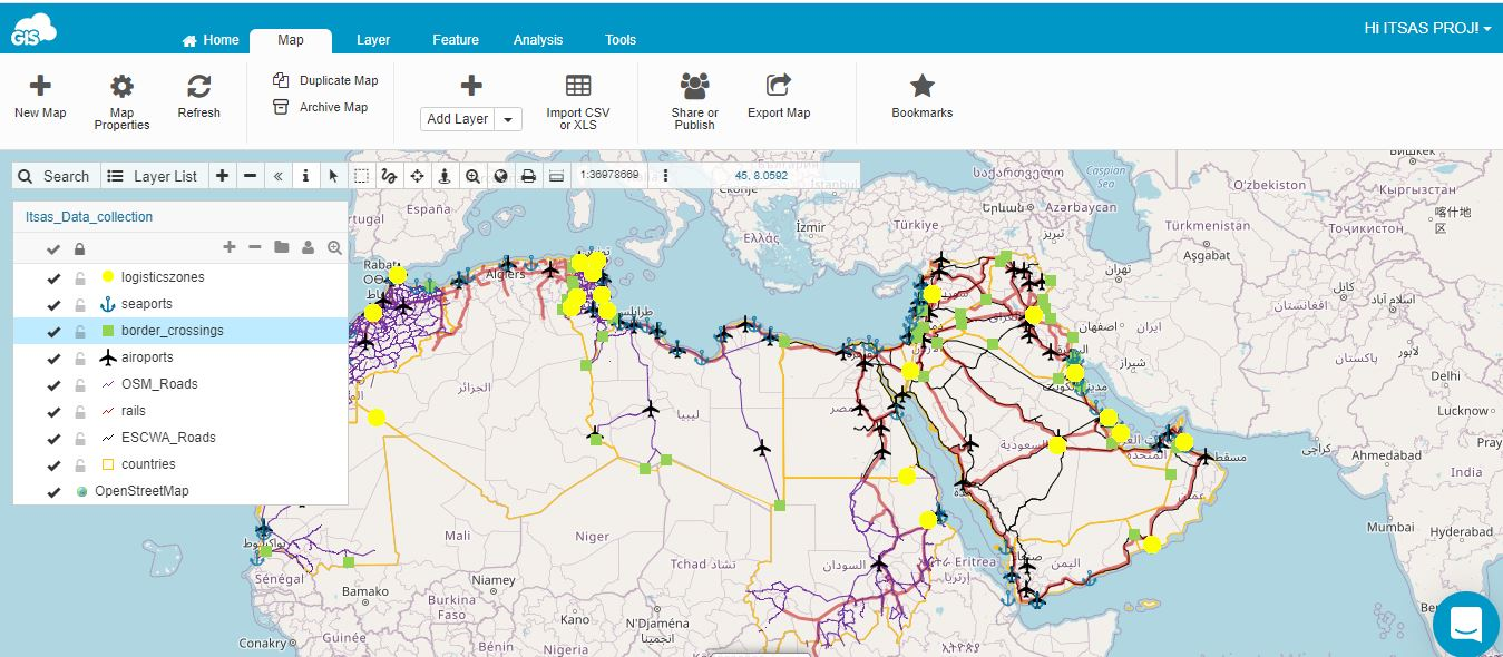
On 1 September, ESCWA and IDB held virtually the 4th training workshop on the geographic information system (GIS) platform established to monitor progress in the development of the Integrated Transport System for Arab States (ITSAS), notably in terms of transport networks and facilities.
The training was attended by representatives from 8 Arab States. After having learned about data filling (attributes and geometric characteristics of networks and facilities) and data analysis (displays and geographic queries) in previous sessions, participants reviewed progress on the GIS platform and received the needed guidance to fill data and information gaps.
News
8 Sep 2020
Developing a geographic information system for transport networks and facilities in Arab States


